The plot thickens.
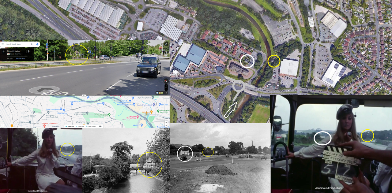
It looks like a roundabout was built c1962, and then enlarged in the early 70s to accommodate the flyover, and was redeveloped again in the 80s when the flyover was enlarged to pass over the roundabout.
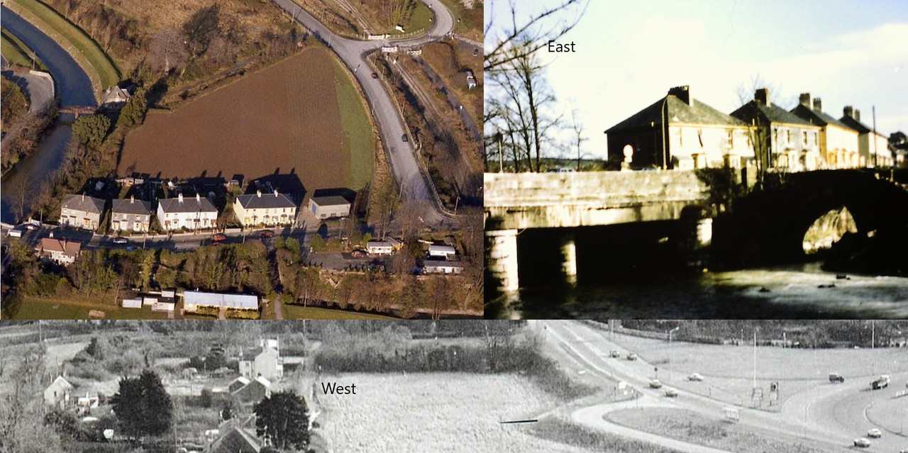
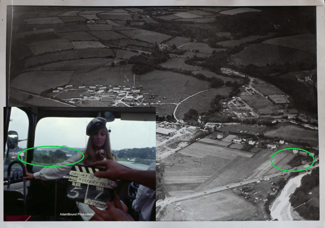
This photo is from May 1963 and looks as if the roundabout could be avoided by simply turning left off the bridge and down to Embankment Road. It looks as if you joined the roundabout by following this and turning right, as the black car has done. As far as we know, it would have looked not much different in 1967. The bus would have to have circled the roundabout at least once to put the white house and the hill in front of them. But we don't know why they did this, unless they were uncertain of the route at this point. What we do know is that eventually they found it. The photo would depict part of the view from the white house, but the bus would be out of shot, approaching from the half right.

- Longbridge,_Plymouth_-_Geograph_-_482204.jpg (43.59 KiB) Viewed 1437 times
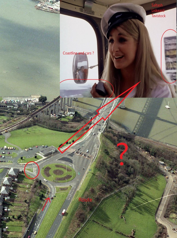
It gets mysterious when we look at the walls hedges and (possibly parked) cars to the left and right of Miss Winters. It looks as if there is a wall on the right, which we don't see in the older photos. The red car on the left looks at a higher level than the bus. There is only one pole. All very confusing. Unfortunately, without a plan of that first roundabout it makes it impossible to explain
All was obliterated when the roundabout was enlarged to create the first flyover, and bypass Plympton.

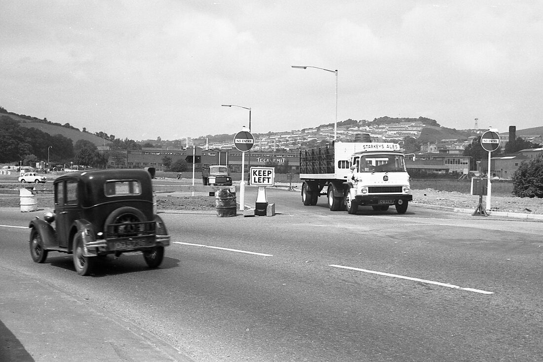
- Marsh-Mills-Tecalamit.0.jpg (180.66 KiB) Viewed 1437 times
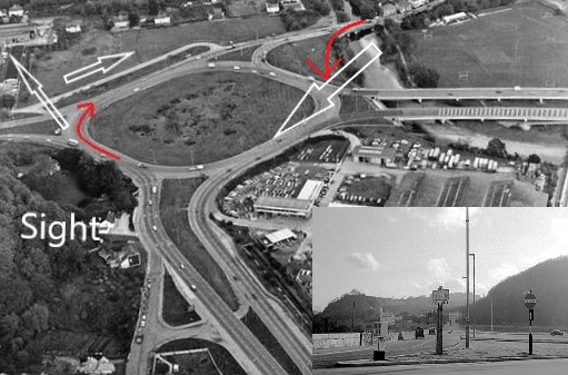
The road we look down in the first photo would have crossed the middle of this roundabout to join what is now the stump at Crabtree. That would make a contemporary view of that first photo about here
https://www.google.co.uk/maps/@50.39207 ... ?entry=ttu